Empowering Business Resilience with Disaster Analytics
Leveraging Geographic Information Systems (GIS) for Economic Insights in Climate-Induced Disaster Risk Management

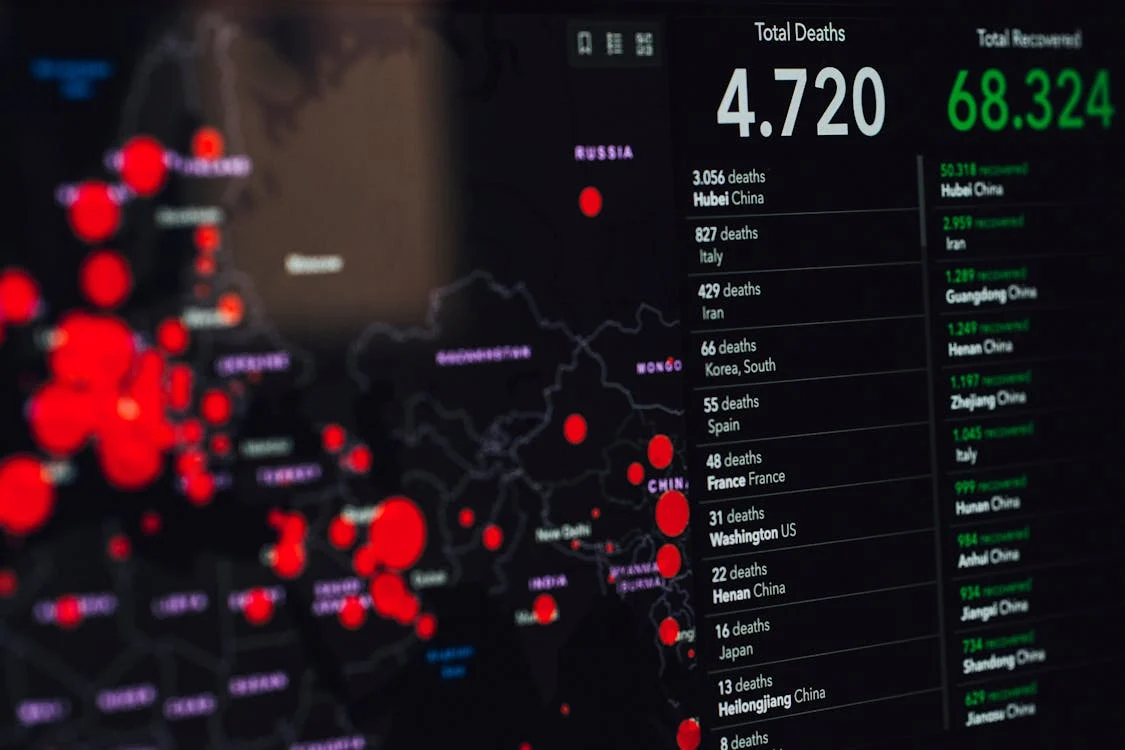
Climate-related disasters like floods, storms, and air pollution are no longer rare occurrences. For businesses that rely on location-based assets—such as retail outlets, transportation hubs, and supply chains—the economic implications are substantial. Our WebGIS Dashboard is designed to help organizations assess, anticipate, and mitigate these risks through data-driven insights.
Why Climate-Related Disasters Demand Business Attention

Floods and Supply Chains
Flooding can disrupt supply chains, increase inventory costs, and impact customer access, leading to significant revenue loss.

Windstorms and Logistics
High winds can delay transportation, increase maintenance costs, and disrupt distribution networks, affecting operational efficiency.

Air Pollution’s Hidden Costs
Poor air quality can decrease foot traffic in urban areas and impact workforce productivity, indirectly affecting profitability.
The Economic Consequences of Disasters on Business
The financial impacts of disasters differ by sector. Retail businesses, for instance, face not only physical damage but also disruptions in customer access and supply availability, leading to stockouts and increased costs. Transportation companies encounter delays and rerouting expenses, while sectors reliant on outdoor activities experience reduced customer flow.

To assess these impacts, businesses need tools that combine economic modeling with environmental monitoring. The WebGIS Dashboard addresses this need by providing a real-time, data-rich environment for evaluating both immediate risks and long-term financial consequences, empowering businesses to make evidence-based decisions.
Key Features of the WebGIS Dashboard
Our platform combines GIS technology with predictive analytics, enabling organizations to navigate complex disaster risks and optimize resource allocation.
Overview Insight
Stay with up-to-date data on environmental hazards, enabling swift, data-driven responses to emerging threats.

Location-Based
Utilize historical data and machine learning to forecast disaster patterns, supporting proactive risk management.

Forecasting Impact Analysis
Quantify the potential costs of disasters on operations, helping prioritize investments in risk mitigation.

Modern WebGIS Dashboard
Interactive maps and dashboards offer an accessible view of complex data, streamlining decision-making for users.